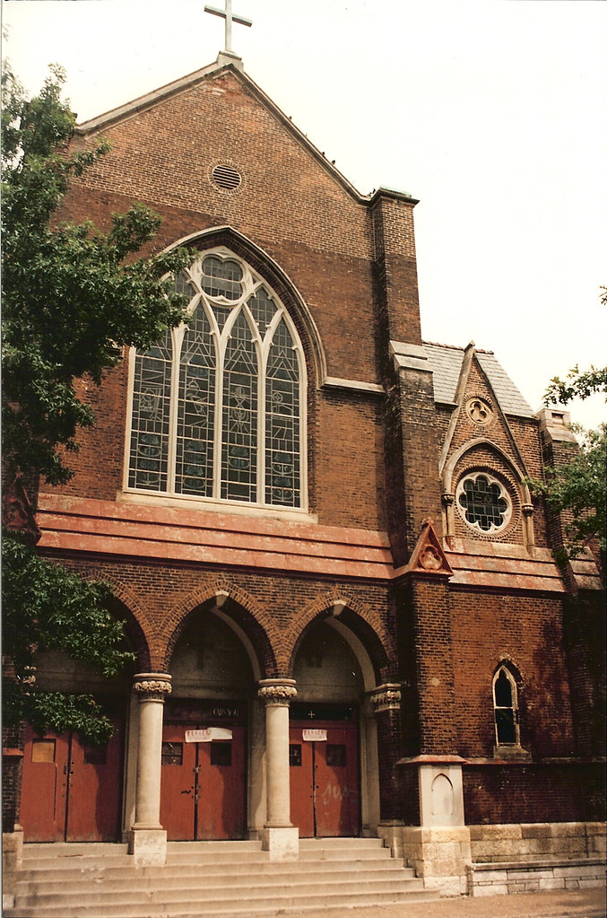
As reported recently by Urban Review STL, St. Louis University continues its poor track record in historic preservation as it plans to demolish yet another building in the Midtown National Register Historic District. This time it is a stately mansion that is in the way of a future entrance to their to be re-vamped law school. According to City records, the mansion was built in 1904, however its Second Empire suggests it may have been earlier. The structure currently houses the university's Center for Counseling & Family Therapy.
The new addition and the existing law building will be clad in the Gothic style of the older buildings on campus. Ironically SLU demolished one of these buildings, DeSmet Hall, which was formed part of the original quad, in 1977. 
 The mansion's massive front windows are framed by decorative limestone moldings
 A detail of the mansions beautiful entrance. The projecting canopy appears to have been given a frontal lobotomy at some point.
 A view of the rear of the mansion with Lindell Towers and the Coronado across the street. The larger Romanesque style mansion to the east, which was connected to the law school during a previous renovation fortunately will remain. Apparently to SLU the Second Empire style does not have as much curb appeal and is therefore expendable. Another building west of the mansion, which lacked architectural distinction has already been demolished.
 A detail of the window heads of the rear wing of the mansion
3740 Lindell is not the first mansion to be demolished for the law school as evidenced by the photo below from the nomination for the Midtown Historic District taken in 1977. The location of the mansion on the left is currently a courtyard with a fountain that sits between the Romanesque mansion and the current law school building which was completed in 1980.
 The rendering below, from SLU's website shows the proposed expansion and re-cladding of the existing law school. It appears that there would be room to keep the mansion at 3740 in the space between the Romanesque mansion and the wing of the law school to the west. It is unclear if the wing to the west is new or simply a re-cladding of the existing modern style building at 3750 Lindell. The width of the existing building and its entrance appear to align with those in the rendering. It is also apparent that there would have been room for the mansion demolished for the 1980 building to remain in the fenced space east of the Romanesque mansion. Both of these scenarios would require SLU to come to terms with the fact that it is an urban campus.
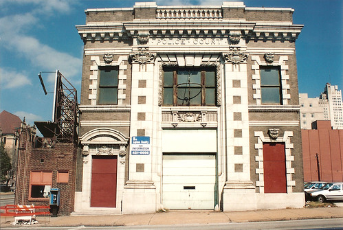
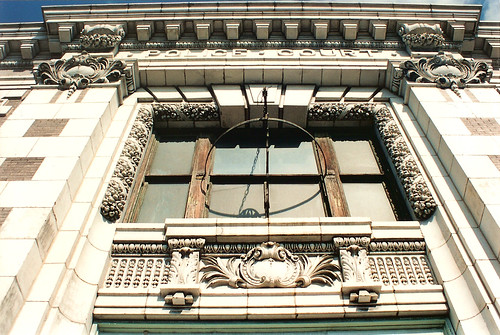
  Here are a few examples of the many buildings that SLU has demolished over the years. Below is a photo from the nomination for the Midtown Historic District showing the Marina Building that stood at Grand and Lindell until 2002. Below that is a photo showing the building as it appeared when it was built, complete with corner towers and a decorative cornice that had been removed. Instead of renovating, which could have encouraged other adjacent but smaller development on the Jack-in-the-Box site, it was demolished in hopes that something bigger and better would be developed on the site. Five years later, SLU currently has out its second RFP for this site, and it remains to be seen what will ultimately get built (hopefully something worth the wait).
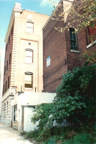
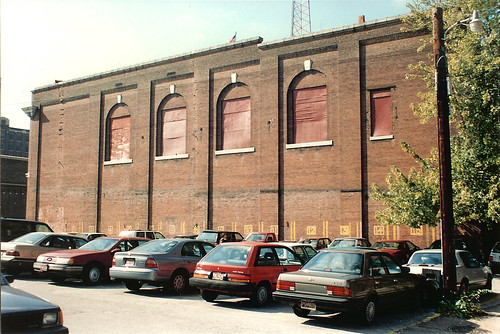
 On the west end of campus, SLU demolished both the 7 story Olympia Apartments (see earlier post) in 1993 and in 1995, Preston Bradshaw's unusual Spanish Colonial Revival styled Vesper Buick building. The 1927 Vesper building had been built as an auto dealership, but is today a parking lot (logic error). The Olympia site is a parking lot as well.

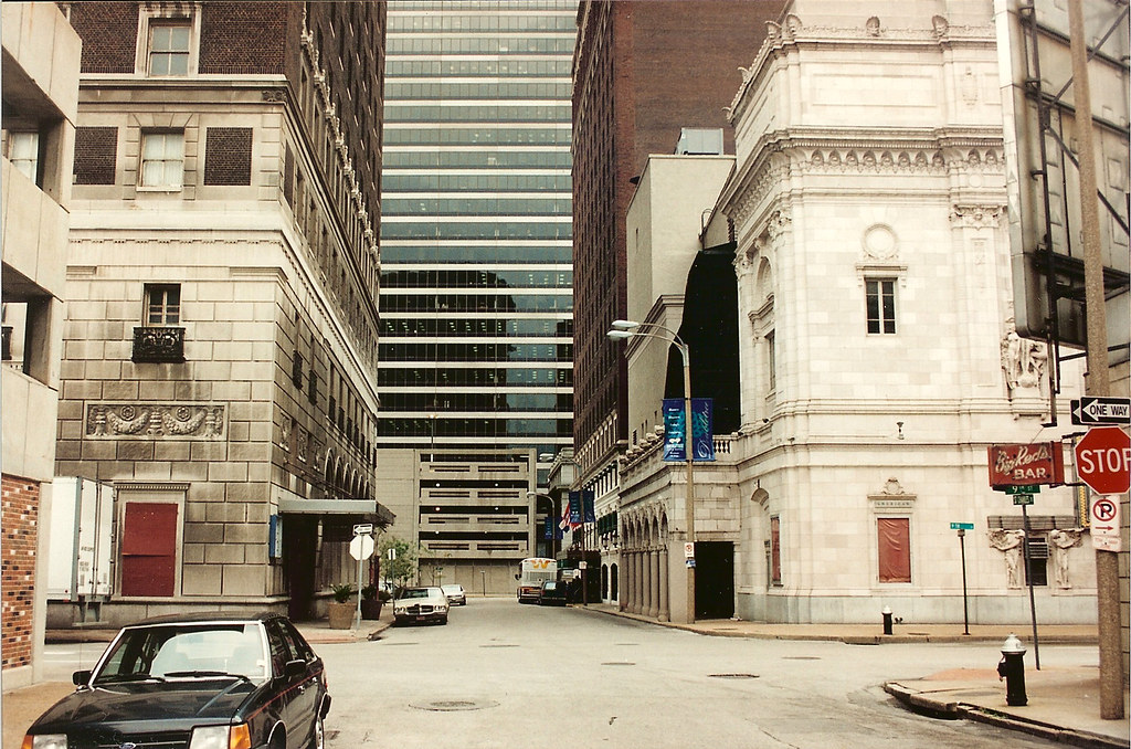
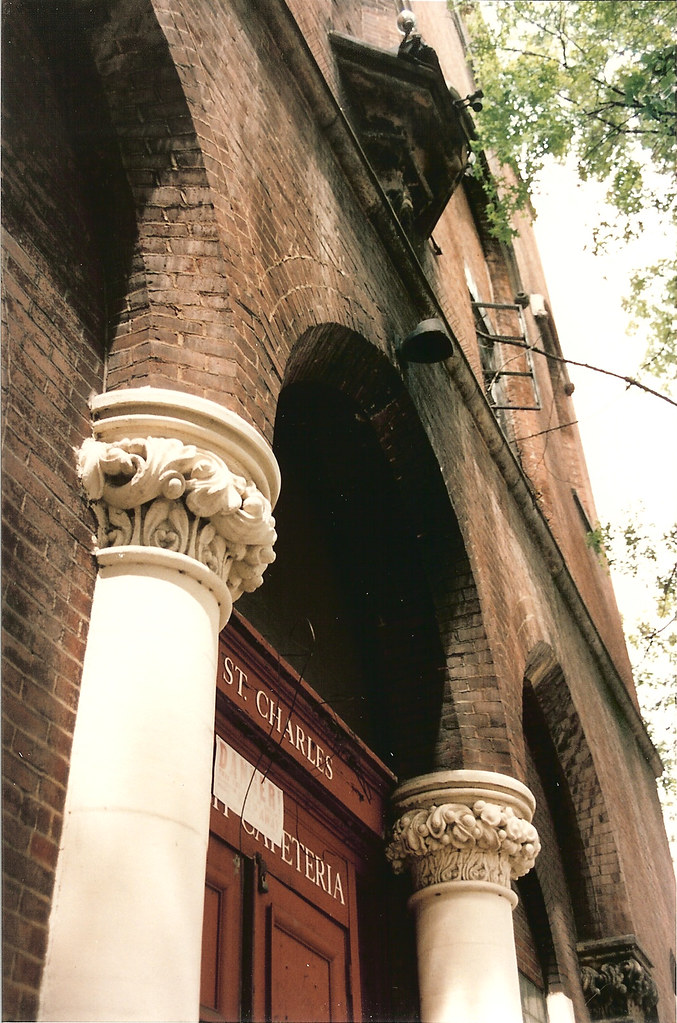
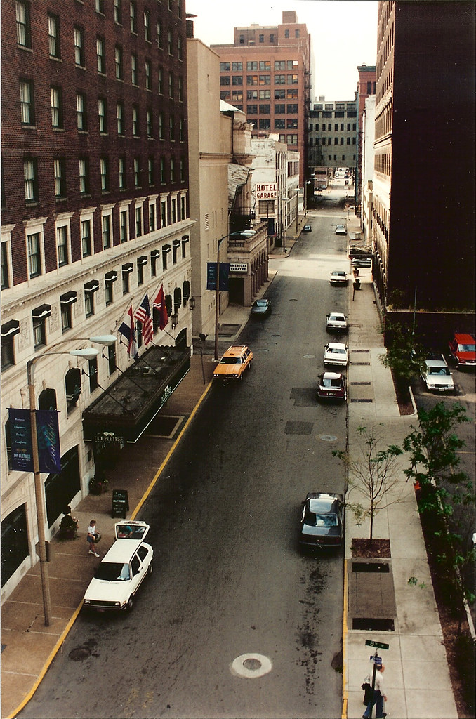 While on the subject of the Merchandise Mart bridges, I just happened to run across these photos of St. Charles Street, the block of which is centered in the photos above and below disappeared several years ago with the construction of the very mediocre ballroom and parking garage block for the Renaissance Hotel. While I was thrilled to see the former Statler rejuvenated as part of the hotel, the new building to the west leaves a lot to be desired, mainly in terms of how it interacts with the street. The retail spaces appear to be an afterthought to plug the left over spaces. Mostly though, the removal of St. Charles Street created a super block that inhibits connectivity in this part of downtown.
 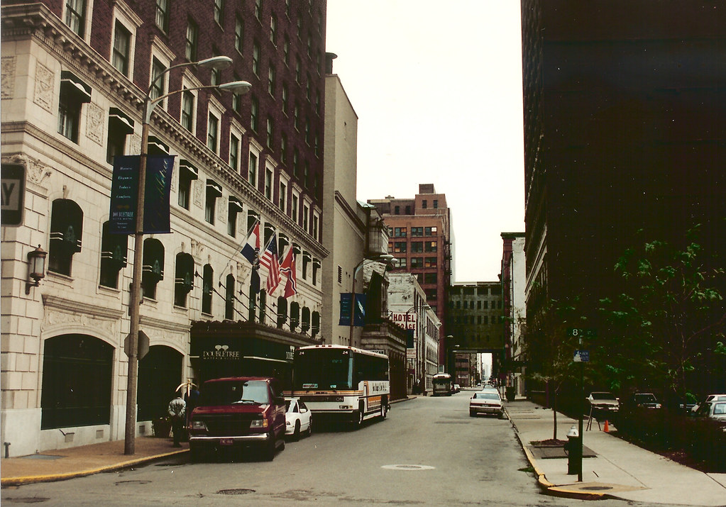 While buildings dictate the character and feel of an area, the streets of a city and their layout play an equal or greater role in how a city feels, its walkability and scale. Standing in the middle of St. Charles in the block where the garage/ballroom now stands, the view east shows how St. Charles Street was first interrupted in the mid 70's with the construction of the Mercantile Bank Building (now US Bank) (more on that block in the next post). The two blocks east of that were taken in the 80's for St. Louis Center, the One Financial Plaza building (formerly Edison Bothers) and another parking garage. The faces of all of these blocks today suffer from a major lack of vitality that is crucial to the success of any urban center with maybe the only exception being 10th Street Italian and the recently opened Time.